The drive from Windhoek to Nkurenkuru is around 670 km of tarred road, and the last stretch on the B15 is one of the quietest and most scenic drives in northern Namibia. Here is how to do it, where to stop, and what to expect on the way to Simanya River Lodge.
- DistanceAbout 670 km from Windhoek
- Driving timeAllow 7 to 8 hours plus stops
- RoadsTarred all the way (B1, B15, B10)
- VehicleA normal sedan is fine
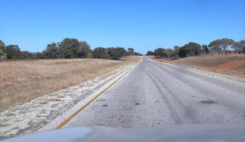
The route at a glance
- Windhoek to Tsumeb on the B1. Head north through Okahandja, Otjiwarongo and Otavi to Tsumeb, a little over 400 km of easy main road.
- Tsumeb to the Kavango on the B15. From Tsumeb, take the B15 north-east through Tsintsabis and across the veterinary fence into the woodlands of the Kavango.
- Turn right onto the B10. Where the B15 meets the B10 near Mpungu, turn right and drive about 40 km to Nkurenkuru. Simanya is signposted from the main road.
The B15 itself is a relatively new road. According to Wikipedia, the 239 km road between Tsumeb and Katwitwi on the Angolan border was built in three phases from 2009 and has been open since 2013, at a cost of about N$910 million. Before it was tarred, this was a long gravel journey. Today it is a smooth, lightly used road and the most direct way from central Namibia to western Kavango.
The alternative: via Rundu
You can also drive via Grootfontein and Rundu on the B8, then turn west along the river on the B10. Nkurenkuru is about 140 km west of Rundu. This route is a good choice if you want to stock up in Rundu or combine your stay with other lodges in the region, and it passes the Hoba Meteorite turn-off near Grootfontein. Our contact page has an interactive map of both routes.
Where to stop on the way
Breaking up the drive makes the journey part of the holiday. Travel News Namibia’s guide to taking a break on the road between Windhoek and Rundu covers many of these stops in more detail.
Okahandja woodcarvers’ market
About an hour north of Windhoek, the roadside craft markets at Okahandja sell carvings from across the country. It is a good place to stretch your legs early in the day.
Otjiwarongo
Roughly halfway to Tsumeb, Otjiwarongo has fuel, shops and several cafés, making it the natural place for a coffee or lunch stop.
Lake Otjikoto
A short detour on the B1 beyond Tsumeb brings you to Lake Otjikoto, a sinkhole lake formed when the roof of a dolomite cave collapsed. As The Namibian describes, the lake measures about 123 by 102 metres, and divers have gone down to 145 metres without finding the bottom. In 1915, retreating German troops dumped weapons and ammunition into the lake, and some of the recovered pieces are now on display at the Tsumeb Museum. The site is open from 08:00 to 17:00 and has a small craft shop.
Photo to add: Lake Otjikoto from the viewing point, or the Tsumeb Museum (landscape).
Tsumeb
Tsumeb is a green, jacaranda-lined mining town and the last large town on this route. Visit the Tsumeb Museum for the town’s mining history and the Khorab collection, and fill up with fuel and supplies before you turn onto the B15.
Treesleeper Camp, Tsintsabis
About an hour up the B15, the small settlement of Tsintsabis is home to Treesleeper Camp, a community-run camp managed by the Hai||om San. It offers guided bushwalks and cultural experiences, and is a good stopover if you prefer to split the drive over two days.
Crossing the Red Line
Shortly after Tsintsabis you cross the veterinary cordon fence known as the Red Line. It separates the north of the country from the commercial farming areas in the south and helps control the spread of livestock diseases such as foot-and-mouth. As Wikipedia notes, the fence runs through Tsintsabis, and every vehicle is stopped at the roadblock.
The checks are quick and friendly. Restrictions on carrying raw meat and other animal products apply mainly when travelling south, so keep this in mind on your return journey. Rules can change, so ask at the checkpoint or check with us before you travel.
Into the Kavango woodlands
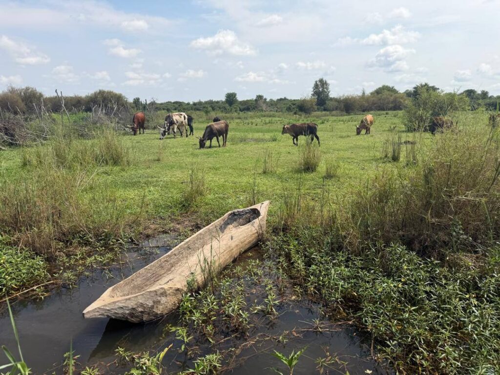
North of the Red Line the landscape changes. Farm fences give way to open woodland on deep Kalahari sand, small villages, cattle and goats. This is the country of the manketti tree. As The Namibian describes, manketti grows on deep sand right into Kavango, with dense groves in the forest around Mpungu. The trees grow 10 to 15 metres tall and a single tree can produce hundreds of kilograms of nuts, which have long been an important food in the region.
Photo to add: roadside manketti trees or a village scene along the B15 (landscape).
Driving tips
- Leave early. Aim to arrive well before dark. Livestock, wildlife and pedestrians on the road make night driving risky in rural Namibia.
- Fuel up in Tsumeb. Services are limited on the B15, so fill up and buy water and snacks before you leave town.
- Watch for animals. Cattle, goats and donkeys graze along the verges and can step into the road without warning.
- Keep to the speed limit. The road is good, but there are villages, schools and speed checks along the way.
- Carry cash. Small notes are handy for craft markets and roadside stalls.
- Download offline maps. Mobile signal can be patchy between towns.
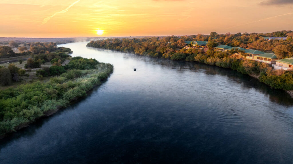
Arriving at Simanya River Lodge
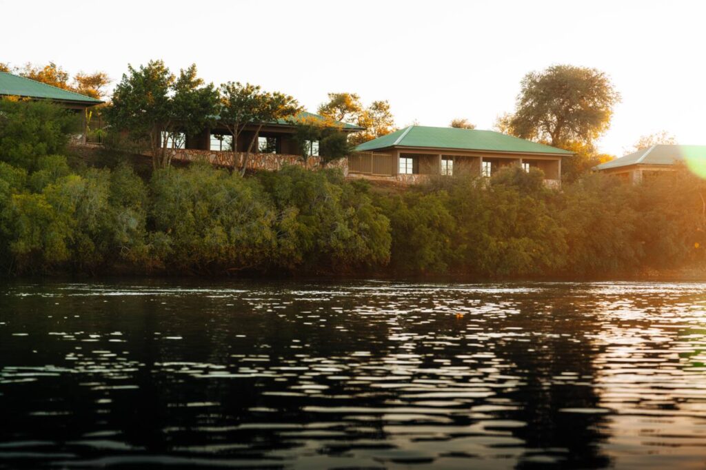
After a long day on the road, the deck above the river is waiting. Check in to a river-facing room or pitch up at Simanya Basecamp, order something cold from the Fancy Fisherman Pub and watch the sun go down over the river, with Angola on the far bank. Read about our rooms and campsites, see what to do in our guide to things to do in Nkurenkuru and Kavango West, see how Simanya fits into a 10-day northern Namibia itinerary, or get directions and book.
Photo to add: the Simanya entrance sign or the lodge from the access road on arrival (landscape).
Frequently asked questions
How far is Nkurenkuru from Windhoek?
Nkurenkuru is about 670 km from Windhoek by road. Allow 7 to 8 hours of driving, plus time for stops.
Is the road from Windhoek to Nkurenkuru tarred?
Yes. The route is tarred all the way: the B1 to Tsumeb, the B15 from Tsumeb to the B10 near Mpungu, and about 40 km on the B10 to Nkurenkuru. A normal sedan is fine.
What is the Red Line checkpoint?
The Red Line is a veterinary cordon fence that helps control livestock diseases. On the B15 it crosses near Tsintsabis, and all vehicles are stopped. Restrictions on raw meat and animal products apply mainly when travelling south.
Where should I stop between Windhoek and Nkurenkuru?
Popular stops include the Okahandja woodcarvers’ market, Otjiwarongo for lunch, Lake Otjikoto and the Tsumeb Museum, and Treesleeper Camp at Tsintsabis if you want to split the drive.
Can I drive to Nkurenkuru via Rundu instead?
Yes. You can drive via Grootfontein and Rundu on the B8, then west on the B10. Nkurenkuru is about 140 km west of Rundu.
Sources
- B15 road (Namibia), Wikipedia.
- Red Line (Namibia), Wikipedia.
- Nkurenkuru, Wikipedia.
- Lake Otjikoto: Tsumeb’s wonder of nature, The Namibian.
- Take a break on the road between Windhoek and Rundu, Travel News Namibia.
- Treesleeper Camp: bringing legend to life, Travel News Namibia.
- The manketti tree, part 1, The Namibian.